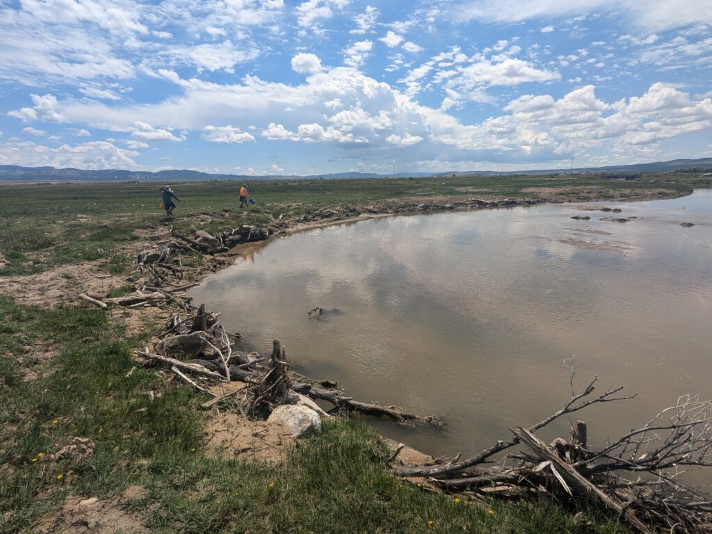
The Upper Sevier River supports irrigated agriculture, livestock grazing, and valuable aquatic habitat across southern Utah’s Colorado Plateau. Previous restoration efforts along the river focused on bank stabilization, sediment reduction, and habitat enhancement; however, many of the installed restoration features required refinement and rehabilitation to achieve long-term performance.
Client
Alpha Engineering Company on behalf of Natural Resource Conservation Service
Expertise
Streams & Rivers
Location
Panguitch, Utah
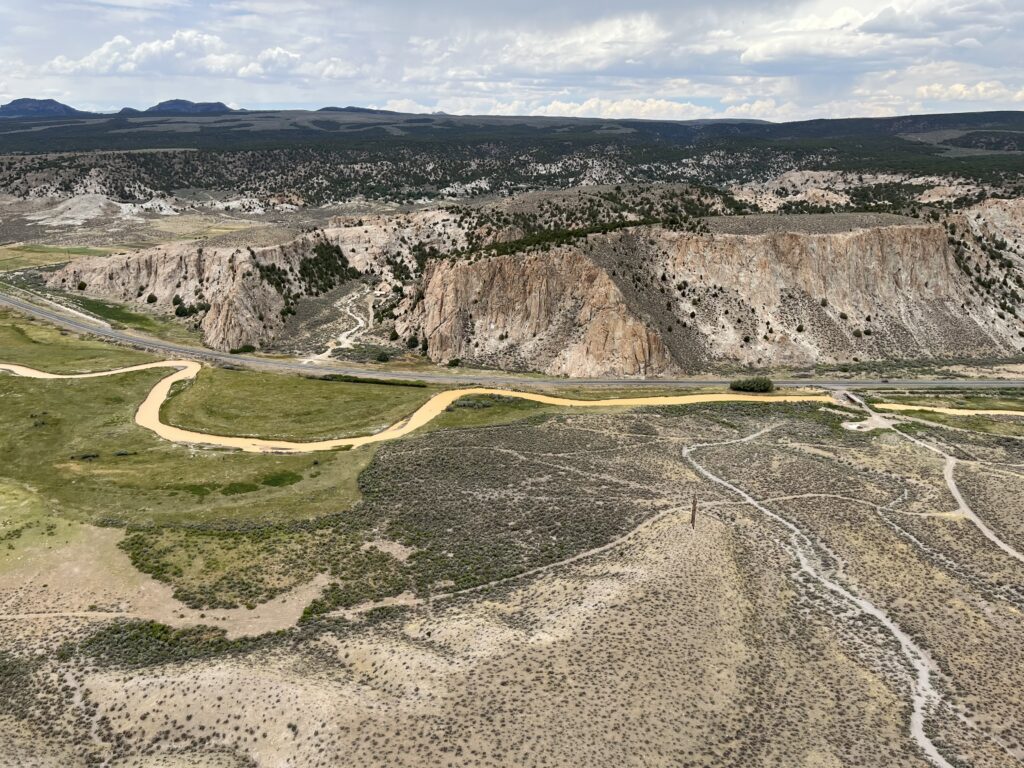
To support future restoration and management efforts, a comprehensive master planning initiative was undertaken for more than 50 miles of river extending from the failed dam near Hatch to the mouth of Circleville Canyon.
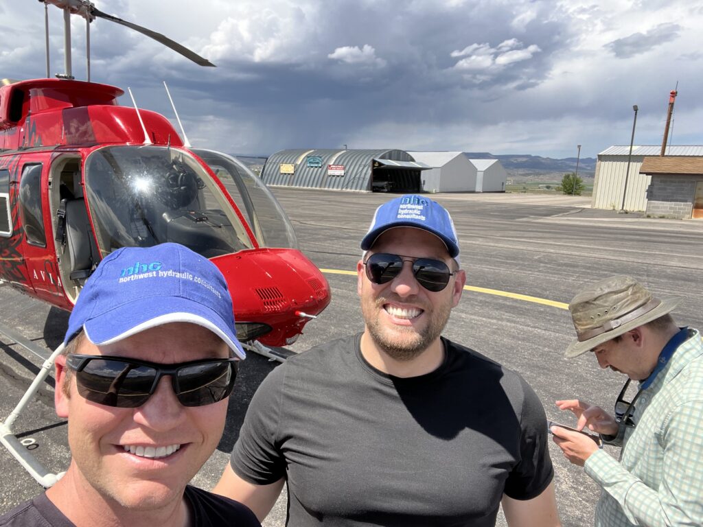
NHC developed the Upper Sevier River Restoration Master Plan using David Rosgen’s Natural Channel Design framework and building upon earlier restoration planning completed in 2004. The study included a helicopter reconnaissance survey of the entire river corridor and detailed assessments of fifteen representative reaches across nine sub-basins.
NHC evaluated hydraulic, geomorphic, sediment transport, and habitat conditions to develop a comprehensive understanding of watershed processes and restoration opportunities. Through multidisciplinary analysis, NHC identified relationships between flow, sediment dynamics, and channel morphology, highlighting the factors influencing long-term channel stability and habitat quality. The assessment also identified irrigation diversions and associated infrastructure as significant controls on river form and ecological function. The resulting master plan established restoration priorities and recommended an adaptive management approach that balances existing agricultural land uses with river restoration and habitat enhancement objectives.
Established restoration objectives, design tools, and management strategies to guide future river restoration projects, prioritize investments, and improve habitat and channel function throughout impaired reaches of the Upper Sevier River.