Shuswap Region Floodplain Mapping
NHC was retained to undertake comprehensive flood hazard mapping for major rivers and lakes throughout the Shuswap region of British Columbia. The project forms part of the provincial and federal Flood Hazard Identification and Mapping Program, funded by Natural Resources Canada and the British Columbia Ministry of Water, Land and Resource Stewardship, and administered by the Fraser Basin Council with support from a technical committee comprising representatives from federal, provincial, and regional agencies.
Fraser Basin Council
Streams & Rivers
Shuswap Region, British Columbia
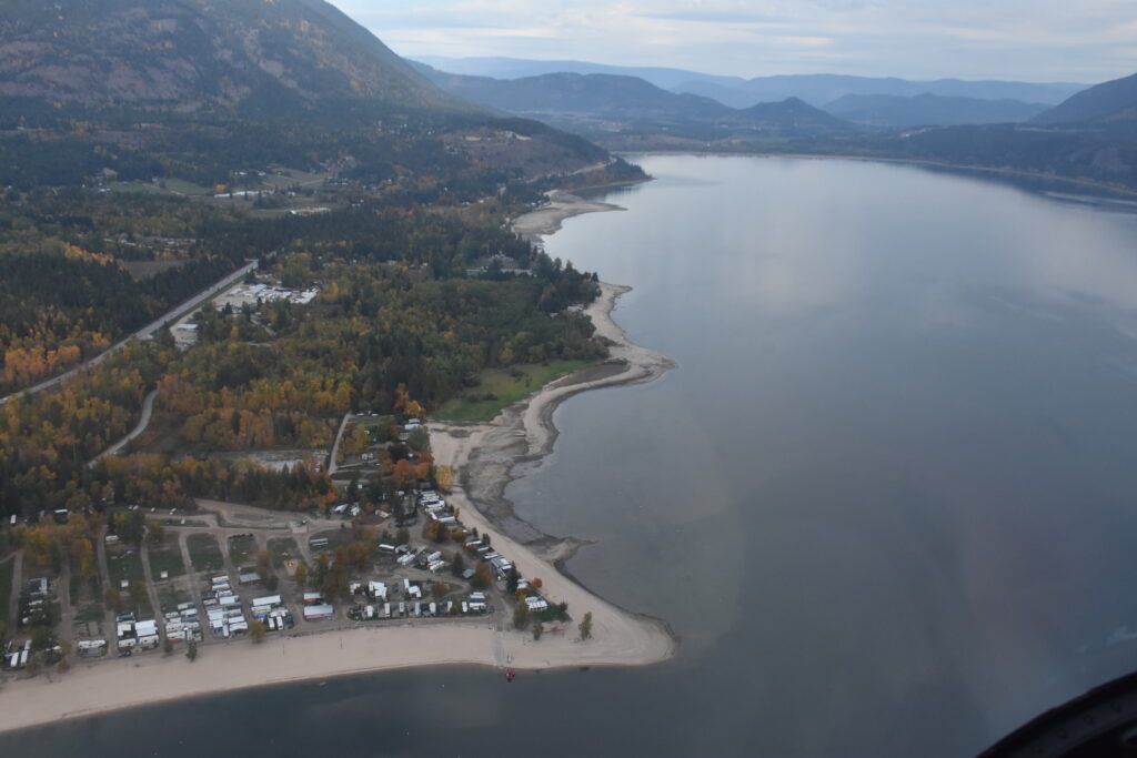
The objective of the program was to develop modern floodplain maps for key water bodies throughout the Shuswap watershed to support flood risk management, land-use planning, emergency preparedness, and infrastructure decision-making. The study area included Shuswap Lake, Little Shuswap Lake, Adams Lake, Mara Lake, Mabel Lake, Little River, Seymour River, Eagle River, Salmon River, Lower Shuswap River, Middle Shuswap River, Bessette Creek, and Duteau Creek.
NHC completed hydrologic and hydraulic assessments to characterize flood hazards across the region and establish floodplain extents for a range of design flood scenarios. The work incorporated available hydrologic, topographic, hydraulic, and meteorological information to evaluate flood conditions affecting both riverine and lake-influenced environments. The resulting analyses were used to develop detailed floodplain mapping products that identify areas vulnerable to inundation and support consistent flood hazard information across multiple jurisdictions.
The project required the integration of flood risk information across a large and diverse watershed containing communities, transportation corridors, agricultural lands, and critical infrastructure. NHC worked closely with project partners and technical review agencies to ensure the mapping products met provincial standards and could be effectively applied to planning and regulatory processes.
Provides critical flood hazard information to support long-term land-use planning, emergency response planning, and flood risk management throughout the Shuswap region. By identifying flood-prone areas across major rivers and lakes, the project helps protect public safety, inform climate-resilient development, and guide future infrastructure and community planning.