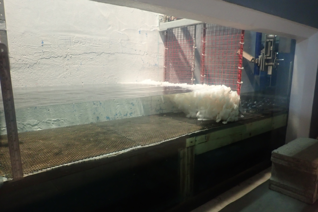
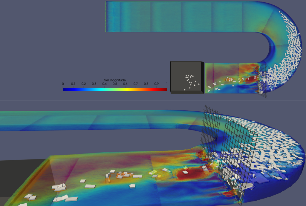
As part of a province-wide floodplain mapping initiative, Communauté Métropolitaine de Québec and LaSalle | NHC developed an innovative method integrating the morphological, glaciological and hydraulic components involved in ice jam formation to spatialize the phenomenon.
Client
Communauté Métropolitaine de Québec
Expertise
Streams & Rivers
Location
Québec
The analysis characterizes breakup/freeze-up episodes to better understand the hydrological and glaciological parameters of the study watercourses. For each watercourse, a database of punctual morphometric parameters associated with ice jam development was created to support large-scale analysis. Physical hydraulic model testing and advanced 3D SPH simulations were used to establish critical thresholds associated with ice jam initiation.
The results contributed to the development of a new predictive formulation for the critical surface ice concentration required to initiate an ice jam. A code-based tool was subsequently developed to automatically identify river cross-sections predisposed to ice jam formation. Finally, 1D hydraulic modeling at the sections identified was carried out to spatially represent water levels in the field during ice jam flooding.
Advanced Québec’s flood risk management capabilities through an innovative, morphologically specialized approach to ice jam assessment, enabling more accurate identification of vulnerable areas and supporting improved floodplain mapping, emergency planning, and community resilience.