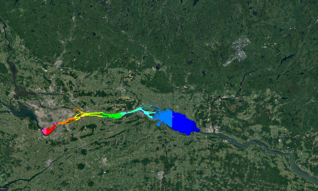
Over the course of numerous studies conducted on the section of the St. Lawrence River between Lake Saint-Louis and Lake Saint-Pierre, Lasalle | NHC developed and calibrated a comprehensive 2D numerical hydraulic model to study various issues related to the development of structures throughout this waterway.
Expertise
Streams & Rivers
Location
Québec
Water levels and velocity fields are parameters that characterize the hydraulic performance of different portions of the river, and knowledge of these parameters is essential for a thorough understanding of open water and winter regimes. This tool, combined with Lasalle | NHC’s expertise, supports the design of various structures and the development of sustainable solutions to optimize existing structures.
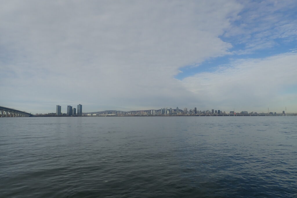
The model has been applied to assess the impacts of the construction/deconstruction of the Champlain Bridge, for various wharves belonging to the Société des traversiers du Québec, and for the development of beaches in urban areas. To ensure ongoing accuracy and reliability, the model is regularly updated using new bathymetric data and measurements of currents and water levels collected throughout the study area.
Provides a trusted hydraulic decision-support platform that helps owners and agencies design resilient infrastructure, evaluate project impacts, and develop sustainable solutions across one of Canada’s most important waterways.