Floodplain Mapping and Hydraulic Modelling Program
Following the spring floods of 2017, the Quebec government launched initiatives to strengthen flood resilience and improve flood risk management across the province. A key component of this action plan included modernizing and expanding the floodplain mapping for river systems throughout the province.
Client
Communauté Métropolitaine de Québec
Expertise
Streams & Rivers
Location
Québec City, Québec
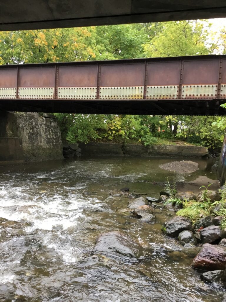
Lasalle|NHC was retained by Communauté Métropolitaine de Québec (CMQuébec) to provide hydrology and hydraulics engineering services, including auditing and validating the approaches adopted, and developing hydrological and hydraulic models for the targeted watercourses.
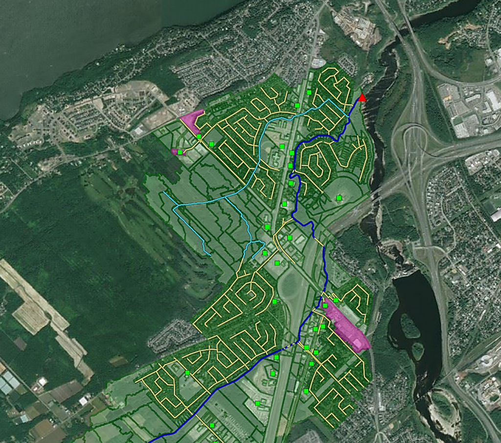
The modelling was completed using comprehensive datasets provided by CMQuébec. Lasalle | NHC developed calibrated hydrological models using HEC-HMS to estimate flood flows and provide key inputs for the HEC-RAS hydraulic models developed by the CMQuébec team.
For watersheds with greater urban development and more complex drainage networks, Lasalle | NHC also developed and calibrated 2D hydraulic models using PCSWMM, enabling a detailed assessment of flooding behaviour in urban environments.
Delivered robust hydrologic and hydraulic modelling to support modernized floodplain mapping, enabling more accurate flood risk assessment, stronger community resilience, and better-informed land use and infrastructure planning across the Québec region.