Nooksack River Floodplain Mapping and Hydraulic Modelling
Over the past two decades, NHC has worked closely with Whatcom County on a wide range of hydraulic modeling, geomorphic assessment, and river engineering projects throughout the Nooksack River watershed.
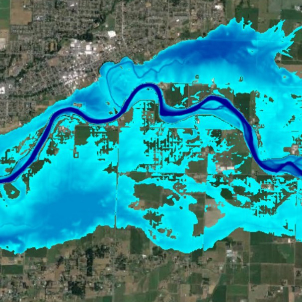
One of NHC’s most significant recent efforts has been supporting the County’s Floodplain Integrated Planning (FLIP) Program, serving as a subconsultant and technical lead for hydraulic, geomorphic, and sediment transport analyses. A key component of this work is the application of the comprehensive HEC-RAS 2D model developed and calibrated by NHC. The model spans approximately 40 river miles, extending from the confluence of the North and South Forks of the Nooksack River near Deming downstream to Bellingham Bay and Lummi Bay. It also includes the Everson Overflow, which conveys floodwaters north toward the City of Sumas and into Canada during major out-of-bank flood events.
Whatcom County, River and Flood
Streams & Rivers
Whatcom County, Washington
The FLIP program involves extensive coordination among local, tribal, state, federal, academic, and international stakeholders. NHC has worked closely with the Lummi Nation, Nooksack Tribe, United States Geological Survey (USGS), National Weather Service (NWS), Washington Department of Ecology, the University of Washington Department of Civil & Environmental Engineering and Climate Impacts Group, as well as representatives from the cities of Nooksack, Everson, Sumas, Lynden, and Ferndale. Coordination has also included First Nations and community representatives in Canada who are affected by flooding associated with the Everson Overflow. As part of the FLIP program, the 2D hydraulic model has been integrated with sediment transport modeling to evaluate existing sedimentation trends, predict future sediment loads, and assess how flood reduction and habitat restoration projects may influence sediment storage and transport processes. These analyses help identify opportunities to increase the river’s capacity to store sediment while simultaneously improving flood conveyance and reducing flood risk.
In addition to modeling, NHC has conducted extensive field investigations and geomorphic assessments throughout the watershed. These efforts have ranged from river-based surveys documenting channel narrowing processes and floodplain connectivity to corridor-scale evaluations of optimal floodplain widths based on both flood conveyance and habitat objectives.
The Nooksack River HEC-RAS 2D model has been applied to a wide range of flood risk management, habitat restoration, and watershed planning initiatives. Applications have included evaluating conceptual flood-risk reduction and habitat restoration alternatives, including preliminary assessments of flood protection berms for the cities of Everson and Nooksack; simulating and mapping future flood conditions under projected 2050 and 2080 climate change scenarios; and developing near real-time flood inundation maps and water surface elevation forecasts during active flood events using National Weather Service forecasts and USGS streamflow data. The model has also supported detailed hydraulic analyses for habitat restoration projects using approaches that extend beyond traditional FEMA No-Rise methodologies, computation of updated FEMA Base Flood Elevations (100-year flood levels) and comparison with FEMA’s September 2025 preliminary flood mapping, and watershed-scale evaluations of floodplain corridor widths using both hydraulic performance and habitat-based metrics.
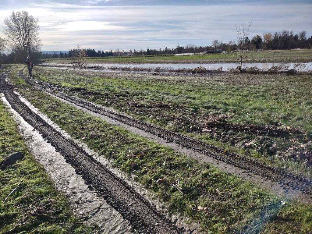
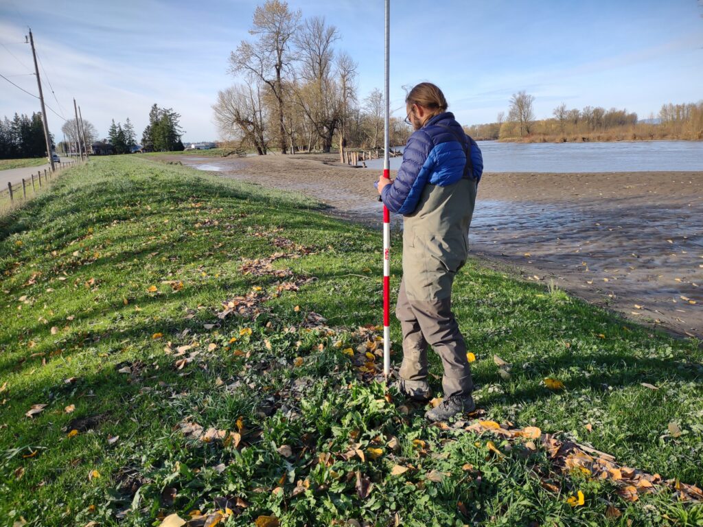
Developed the river hydraulic and floodplain mapping foundation for flood risk management and habitat restoration throughout 40 miles of the Nooksack River, supporting the County and both local communities and tribes, improving understanding of current and future flood hazards.