Lower Fraser River and Lower Coquihalla River Floodplain Mapping Program
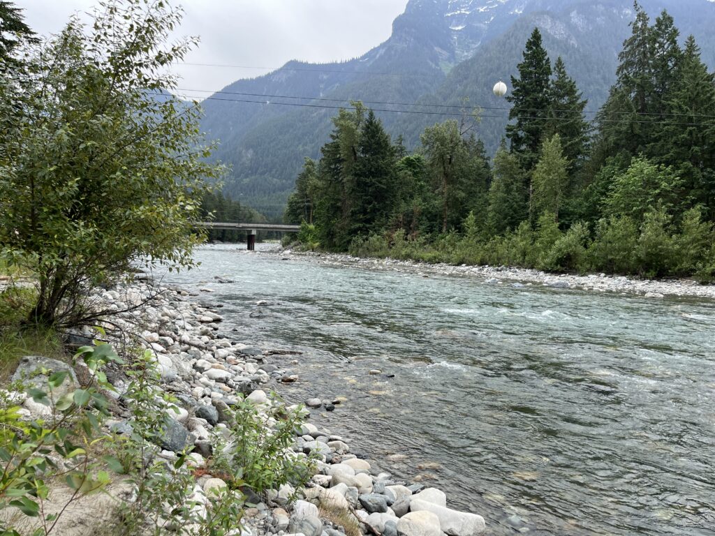
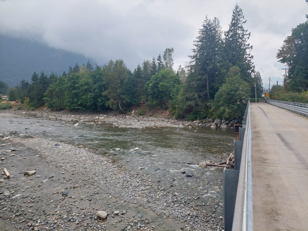
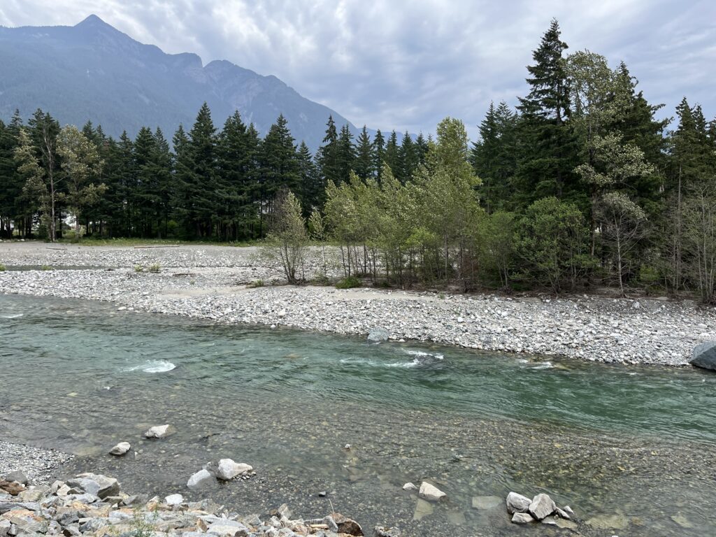
As part of a provincial and federal floodplain mapping initiative managed by the Fraser Basin Council, NHC was retained to undertake hydraulic modelling and floodplain mapping for approximately 105 km of the Lower Fraser River between Yale and Hatzic, as well as a 4 km reach of the lower Coquihalla River. The project supports the development of updated floodplain maps in areas where modern flood hazard information was limited or outdated; providing essential information for flood risk management and climate adaptation planning.
Fraser Basin Council
Streams & Rivers
Lower Mainland, British Columbia
NHC’s work began with the development of a community and First Nations engagement framework designed to foster respectful collaboration, information sharing, and meaningful participation throughout the project. The engagement program included preparation of project protocols, communication materials, and opportunities for ongoing dialogue with Indigenous communities, local governments, and stakeholders to ensure that local knowledge and community priorities were incorporated into the study.
The project included comprehensive hydrologic analyses to characterize existing and future flood hazards. NHC reviewed available streamflow records, completed regional flood frequency analyses, developed design flood hydrographs, and evaluated the effects of future climate conditions on river hydrology and flood magnitude. These assessments provided the basis for defining present-day and climate-informed flood scenarios for mapping purposes.
To support floodplain mapping, NHC expanded its Fraser River hydraulic model previously developed for the lower Fraser River system, extending model coverage upstream to Yale and incorporating the lower Coquihalla River. The hydraulic model was refined, recalibrated, and revalidated using available water level, flow, and flood information to accurately represent hydraulic conditions throughout the study reach.
Using advanced 2D hydraulic modelling, NHC simulated a range of design flood events to estimate flood levels, flow patterns, and inundation extents throughout the Fraser and Coquihalla River floodplains. Additional analyses evaluated potential dike breach scenarios and assessed geomorphic processes that could influence flood behaviour and floodplain hazards during extreme events.
Supported flood management by developing floodplain maps for high-risk reaches using advanced, hydraulic modelling to identify flood extents and impacts, while informing land-use planning, emergency management, infrastructure decisions, and long-term climate adaptation through collaborative engagement with First Nations and local communities.