American River Common Features Erosion Project
The City and County of Sacramento are located within one of the most complex flood management systems in the United States, protected by an extensive network of levees, weirs, bypass channels, and Folsom Dam. Following major flood events and the modernization of Folsom Dam’s outlet works, significant upgrades were required to downstream flood protection infrastructure to maintain and enhance community resilience.
California Tahoe Conservancy
Streams & Rivers
South Lake Tahoe, California
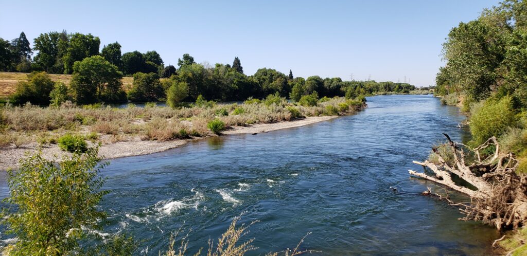
As part of a $1.8 billion flood risk reduction program led by the U.S. Army Corps of Engineers, the Sacramento Area Flood Control Agency retained NHC to provide hydraulic, geomorphic, and engineering design services for critical riverbank protection projects along the American and Sacramento Rivers.
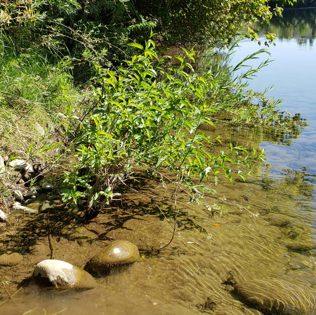
NHC conducted detailed geomorphic assessments of 13 miles of the Lower American River and approximately 20 miles of the Sacramento River to identify areas vulnerable to erosion and potential levee failure. The team evaluated existing revetments, developed conceptual protection alternatives, and worked closely with technical advisory groups, environmental specialists, and regulatory agencies to balance flood protection objectives with ecological considerations.
The project included the design of erosion protection measures for high-priority sites within Sacramento’s urban corridor. NHC advanced preferred alternatives through detailed design, incorporating habitat restoration opportunities and measures to minimize impacts on federally and state-listed species. The first phases of construction protected more than two miles of vulnerable riverbank while supporting broader flood management and environmental goals.
Improved flood resilience for the Sacramento region by reducing erosion risks to critical levee infrastructure, protecting communities from future flood hazards, and integrating habitat restoration into large-scale flood protection improvements.