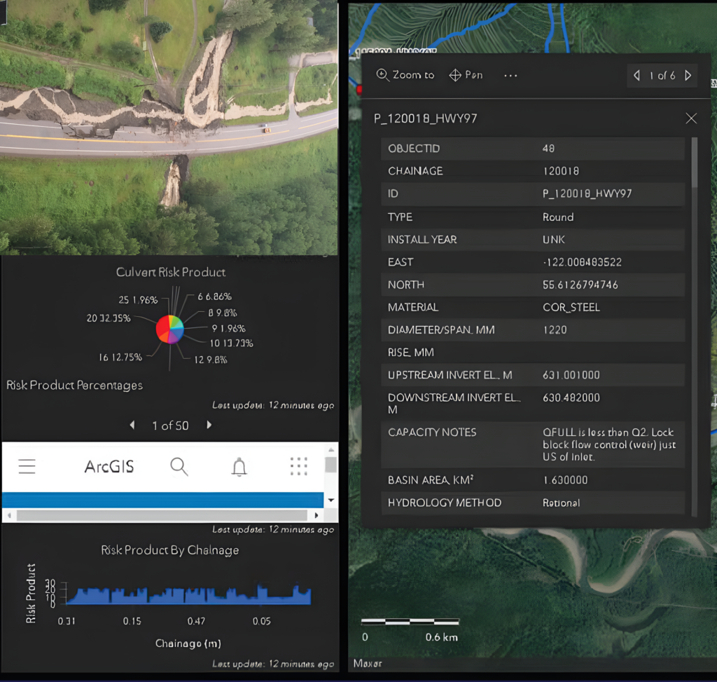
Highway 97N Flood Risk Assessment and GIS Management System
Following major flood events in 2011 and 2016 that caused overtopping, washouts, and extensive damage at multiple locations along the John Hart Highway (Highway 97N), the British Columbia Ministry of Transportation and Transit (MoTT) retained NHC to assess flood risk along this critical transportation corridor and develop an online GIS-based management tool to support future infrastructure planning and risk management. The study focused on two adjacent segments of Highway 97N extending from Chetwynd to Pine Pass.
BC Ministry of Transportation and Transit
Streams & Rivers
British Columbia
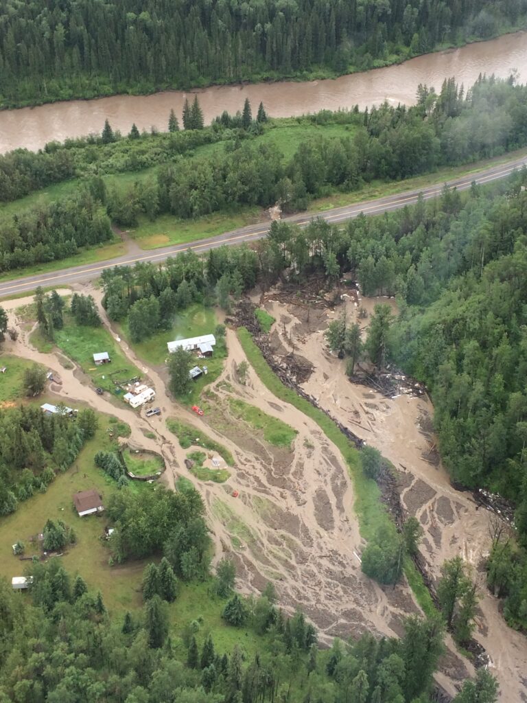
NHC evaluated flood risks associated with drainage infrastructure crossing the highway, including 102 culverts and 16 bridges, as well as erosion hazards associated with the Pine River, which flows adjacent to portions of the highway. The assessment examined the performance and vulnerability of the infrastructure under a range of rainfall and weather scenarios, allowing risk levels to be evaluated at both individual crossings and specific highway sub-segments.
The study identified moderate- and high-risk infrastructure locations and developed mitigation recommendations with associated planning-level cost estimates to support future capital planning and risk reduction initiatives. These recommendations provide a framework for improving highway resilience and reducing the likelihood of future flood-related disruptions.
A key project deliverable was the development of a user-friendly GIS database that consolidates flood risk information, infrastructure inventories, risk rankings, and mitigation recommendations. This tool enables MoTT staff to prioritize inspections, maintenance programs, infrastructure upgrades, emergency response activities, and long-term flood mitigation investments.
Delivered a corridor-wide flood risk assessment and GIS-based decision-support system that helps prioritize infrastructure upgrade investments, allows targeted maintenance and emergency response planning, and strengthen the resilience of Highway 97N to future flood events.